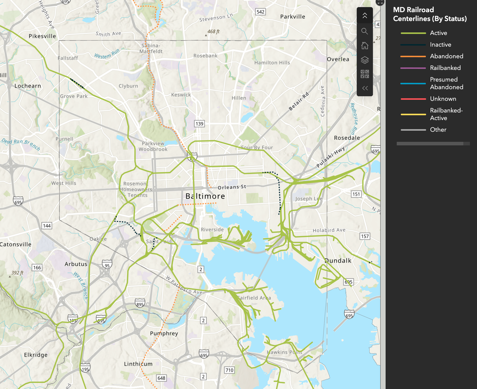
What Makes a Map?
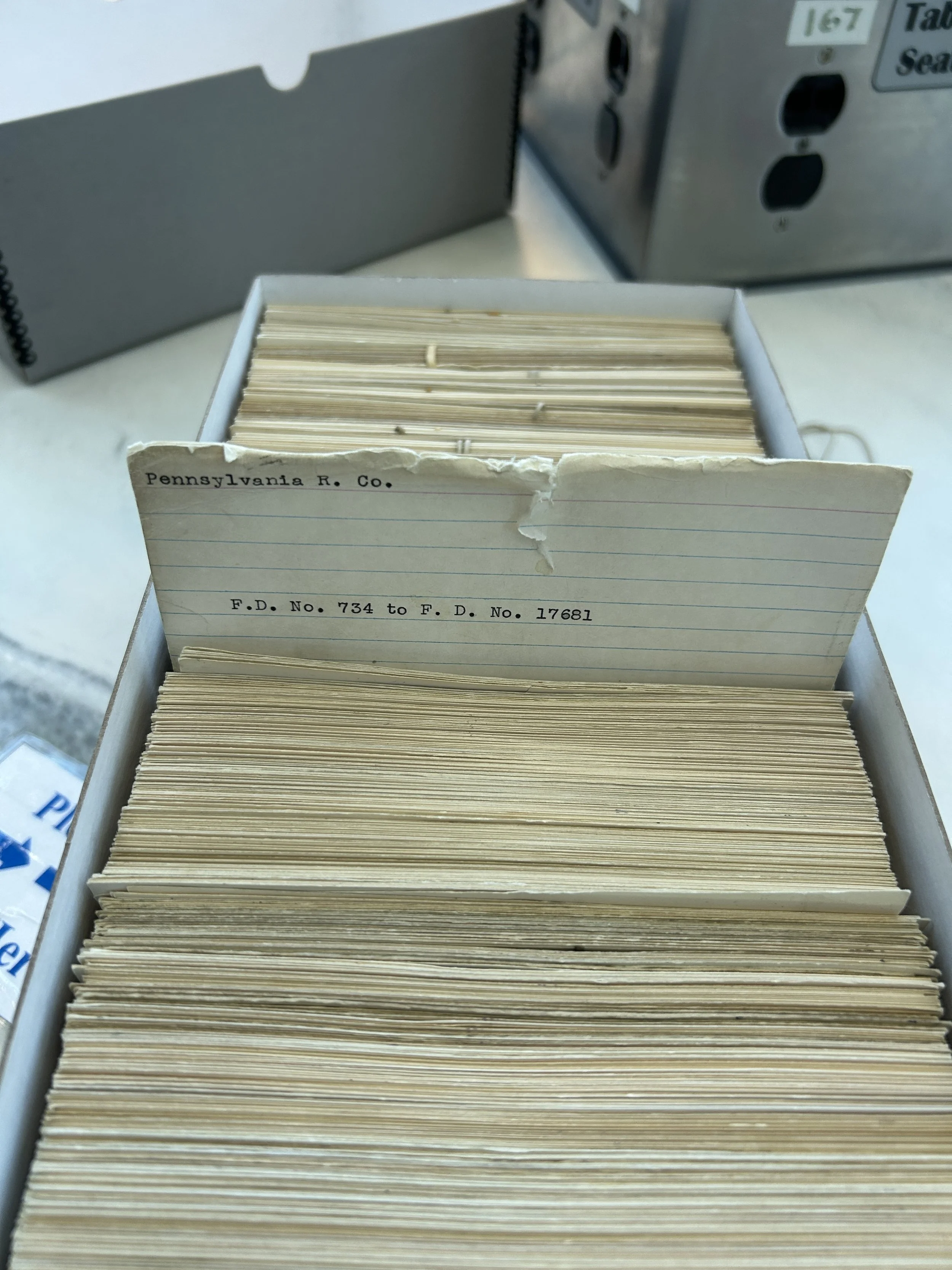
Generations of rail maps have been made, but now, Maryland’s map updates in real time.
The first Maryland rail map to utilize ESRI ArcGIS Online software and including historic rail corridor information means a powerful tool for communities, students, and planners. Once an arcane tool required by the planning process, the rail map is a key resource for transportation planning.
Prior to LMRS, Tom led the research of property and corridor information to improve the state rail map dataset. Included in new updates are railroad corridors which have been formally abandoned. Many other states were found to include this information on rail maps for the purposes of establishing clear expectations around current ownership.
Still in the development stage in 2026, this map is not under the management of LMRS.