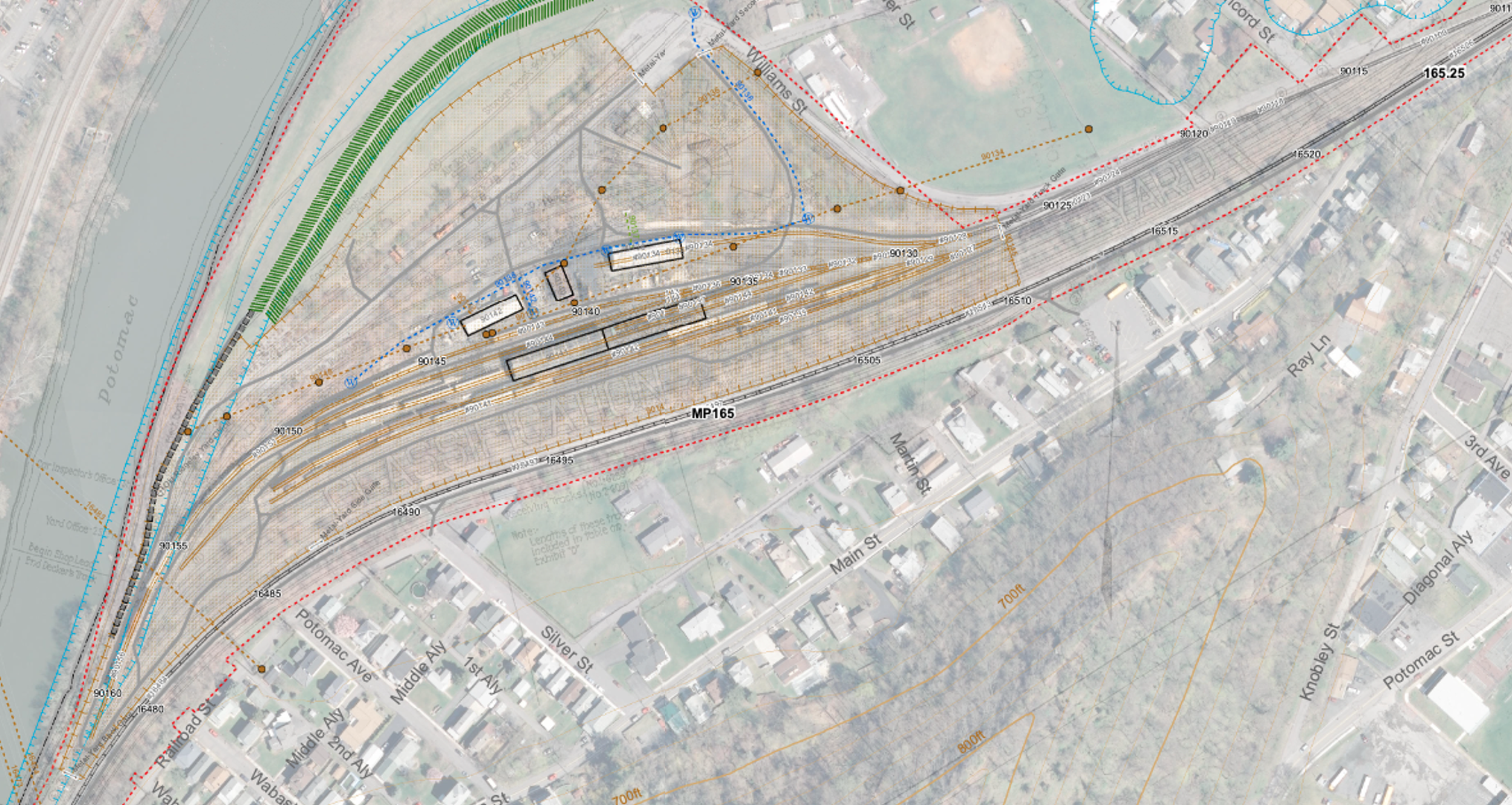
Rail sizes, curves, tangents, tie installation dates, tie material, superelevation, ballast type, property lines, culverts, bridges, roadways, structures, waterways, excavations, fills, stations, platforms, shops and offices. Just some of the attributes that make up railroad assets. Tracking all of this and more has always been a full time job, for a railroad roadmaster or facilities manager. The use of geodatabases has revolutionized the work of gathering and analyzing facilities and asset data, allowing users solve problems, make key investments, and maximize the use of infrastructure.
Prior to LMRS, Tom worked on a project to develop an asset management geodatabase for a heritage railroad. The geodatabase has informed decision making around land use, infrastructure sharing, feasibility studies and more.
Heritage Railroad Asset Management and GIS (2014)